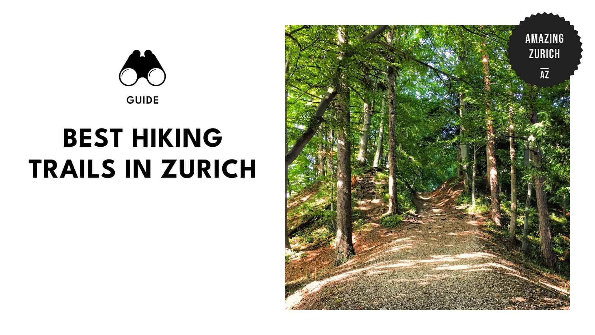
9 breathtaking hiking spots in Zurich that make leg day totally worth it

Hiking in Zurich offers more than just exercise; it’s a chance to escape into nature while staying close to one of the world’s most beautiful cities. The city might be known for being a financial hub, but it’s also a paradise of pristine landscapes.
Within minutes of Zurich’s centre, you’ll find yourself in a world of dense forests, green hills, and serene lakes. It’s the best of both worlds—urban sophistication meets nature’s playground.
And if you’re ready to lace up, we’ve rounded up the best hikes in and around Zurich. Just scroll down and pick your path.
1. Uetliberg Planet Trail
@swisswithkate 📍 Top of Zurich — Uetliberg🇨🇭 The best view of Zurich, the Alps & nature around 🌄 ✅ Must-visit for epic views & chill vibes ✨ 🚆 20 min from Zurich HB (S10 train) 🚶 600m easy walk to the tower 🔝 Viewing tower entrance: 2 CHF / $2.20 👁️ Views you’ll never forget 🏔️ #switzerland #schweiz #suiza #swiss #zurich #uetliberg #zurichtravel #freeinzurich #thingstodo #mustvisit #switzerlandtravel #switzerlandtourism #switzerlandtiktok🇨🇭 #switzerlandnature #swissalps #traveldestinations #explore #travelbucketlist #traveltiktok #beautifulview #travelblog #adventure #travelblog #rek #viralvideos #fyp #foryoupage❤️❤️
♬ Epic Adventures 2 – Space Kitchen
Media credit: swisswithkate
Website: https://www.zuerich.com/en/visit/nature/planet-trail-hike-from-uetliberg-to-felsenegg
Address: Uetliberg, 8143
Contact: +41 44 206 45 11
Starting Point: Uetliberg station
End Point: Felsenegg station
Trail Length: 5.8 km
Estimated Time: approximately two hours
The Uetliberg Planet Trail takes you on a scenic Zurich hike that doubles as a journey through the solar system. This 5.8 km hike follows a scale model of the solar system, stretching from Uetliberg Station to the Felsenegg cable car.
Along the ridge, each planet is marked with its distance scaled to size, making it a fun and educational walking tour for all ages.
With moderate difficulty and mostly level terrain, this Planet Trail Zurich route is perfect for families and casual hikers. Also, you can expect to enjoy stunning views of Zurich and Lake Zurich throughout the trip.
There are toilets located at both ends of the trail, and the signs are clearly marked and easy to follow. Uetliberg station is 20 minutes away from Zurich, making this hike highly convenient for everyone.
Pro Tip:
- Start your hike in the late afternoon and time your arrival at Felsenegg to coincide with sunset. The golden light over Lake Zurich makes the view absolutely unforgettable.
- Plus, you can take the Felsenegg cable car down to Adliswil and catch the Sihltalbahn back to Zurich for a faster route going back.
2. Lake Zurich Promenade
Media credit: mere.photo.4
Website: https://www.zuerich.com/en/visit/attractions/lake-promenade-the-popular-walking-path-at-lake-zurich
Contact: +41 44 215 40 00
Starting Point: Bellevue
End Point: Zurichhorn
Trail Length: 5.3 km
Estimated Time: 1.5 hours
The Lake Zurich Promenade is a relaxed 5.3 km trail that stretches from Bellevue to Tiefenbrunnen, closely following the lake’s edge the entire way. With its paved surface, it’s one of the most accessible hikes in Zurich, suitable for strollers and wheelchairs.
What sets this trail apart are its entry points, inviting swimming spots in Seebad Utoquai, and cafes. It’s a scenic choice for families, casual walkers, or anyone looking to enjoy the route without exerting themselves.
When I walked this route last spring, I started at Burkiplatz near the arboretum. The trail runs right beside the lake, with benches under trees where you can relax. Continuing further, I reached Seebad Utoquai.
This place has a classic old wooden bathhouse design with green towers and a sun deck. Further along, I reached Tiefenbrunnen Station, a nice spot to slow down and grab a drink at the small lakeside café.
Pro Tip:
- Make sure you head to the Lake Zurich Promenade an hour before sunset. The golden light, along with the view, makes the Alps look magical (it’s also less crowded!).
- While you’re there, grab a bench near Burkliplatz or Bellevue and enjoy the scenery of swans without a rush.
3. Pfannenstiel Ridge Hike
Media credit: poortaste_ltd
Website: https://www.zuerich.com/en/visit/sport/hiking-from-forch-to-meilen-trail-pfannenstiel
Address: 8706 Meilen
Contact: +41 44 215 40 00
Starting Point: Forch Station
End Point: Meilen
Trail Length: 11.1 km
Estimated Time: 3 hours and 29 minutes
The Pfannenstiel Ridge Hike is an 11.1 km route that links Forch and Meilen along a forested ridgeline just outside the city. This scenic trail in Zurich offers a peaceful escape, winding through mixed forests and pastures.
Along the way, you’ll encounter historical landmarks, including old lookout towers and wartime bunkers, which add local history to the journey. You’ll also spot information boards detailing the area’s World War II history, making the trip even more worthwhile.
This family-friendly hike in Zurich offers outstanding views—the lake to the north and the Zürcher Oberland to the south. Despite its length, the well-marked, low-gradient path makes it accessible for all ages.
Pro Tip:
Forch offers limited parking spaces for drivers. However, both ends of the trails have train connections. Ensure that you plan your hike accordingly.
4. Zurich Triemli to Uetliberg Summit
Media credit: danielletown
Website: https://www.alltrails.com/trail/switzerland/zurich/zurich-triemli-hohenstein-uetliberg
Address: Triemli, 8055
Contact: +41 44 215 40 00
Starting Point: Triemli Station
End Point: Uetliberg Summit
Trail Length: 8 km
Estimated Time: 2.5 hours
Covering 8 km and ascending approximately 426 metres, the Zurich Triemli to Uetliberg Summit trail stands out as one of Zurich’s more demanding routes. The path is a steady uphill climb through forested terrain, with occasional glimpses of the city below.
Along the way, I passed by shady areas and a playground at Hohensteinplatz, which offers a great view. At the top, I got to see breathtaking panoramic views from the lookout tower for only CHF 2.
A small kiosk can be seen near the Uto Kulm Hotel, where I purchased coffee for approximately CHF 5. Meals cost around CHF 10 to 15, which is a bit expensive. So, it’s best to pack your snacks and drinks.
If you have extra time (and energy!), you can go straight to the Uetliberg Planet trail. It’s a family-friendly extension that stretches all the way to Felsenegg. The descent becomes more fun thanks to the scale models and the summit view.
Pro Tip:
- Make sure to bring lots of water (at least 1 litre), because there are no public fountains along the trail.
- If you plan to eat at Uto Kulm, reserve a table in advance, especially on weekend scheduled hikes.
5. Küsnachter Tobel and Wulp Castle Ruins
Media credit: markuswiedmer
Website: https://www.alltrails.com/trail/switzerland/zurich/kusnacht-kusnachter-tobel-burgruine-wulp
Address: 8700 Küsnacht
Contact: +41 44 215 40 00
Starting Point: Küsnacht Goldbach Station
End Point: Wulp Castle Ruins
Trail Length: 5.5 km
Estimated Time: 1 hour and 35 minutes
The Küsnachter Tobel and Wulp Castle Ruins trail is a 5.5 km hike in Kusnacht that winds through lush forest paths, sparkling waterfalls, and rugged stone formations, offering a perfect blend of nature and history.
The hike begins at Küsnacht Zentrum and follows a peaceful creek through a shady ravine, with wooden bridges and moss-covered ruins of Wulp Castle along the way. A rocky outcrop provides a natural elevated base for strategic views and dramatic scenery.
It’s also ideal for all ages with gentle inclines, well-maintained paths, and natural play areas for children.
Pro Tip:
Don’t miss the Dragon’s Cave, which is about two-thirds into the trail. It’s an old limestone area that once sparked rumours of a dragon guarding the gorge. Be sure to schedule a photo opportunity!
6. Zurich-Zugerland Panoramaweg Trail
Media credit: newinzurich
Website: https://www.myswitzerland.com/en/experiences/route/zuerich-zugerland-panoramaweg/
Address: Panoramaweg
Contact: +41 31 385 10 00
Starting Point: Triemli
End Point: Albis Passhöhe
Trail Length: 13.8 km
Estimated Time: 5 hours
This trail is a 13.8 km segment from Triemli to Albis Passhohe along the Albis chain. It’s a classic Zurich panorama trail, climbing roughly 700 metres through forested ridges and open meadows.
One of the standout features of this Albis Ridge hike is the blend of nature and history. You’ll pass through Sihlwald Nature Discovery Park and cross by early medieval castle ruins and the iconic “milk soup stone” at Ebertswil.
I hiked this trail and I saw sweeping views of Lake Zurich on one side and the rolling hills toward Zug on the other. The route was long but not too steep, which made the 5-hour-long walk bearable.
Near the end of the trail, there’s a wide-open clearing with benches where you can view the sunset (one of the best I’ve seen!). It’s quiet, open, and serene.
Pro Tip:
- Hike this trail in late April to early May when the ridge is full of blooming wildflowers and the views are clearest.
- Download a trail map or a Swiss mobility app. While the route is generally well-marked, there are a few signs that are small or easily missed.
7. Pizol 5 Lakes Hike
@whereshetravel 📍5 lakes pizol hike, Switzerland #swissalps #pizol #5lakespizol #switzerland #mountains #naturevibes #hiking #randonnée #zurich #alps #snow #beautifuldestinations #mountainscalling #fypp #suisse🇨🇭 #pourtoii
♬ days on end by brenn – Brenn!
Media credit: whereshetravel
Website: https://pizol.com/en/hiking-trails/5-lakes-hiking/
Address: Pizolweg 5, 9475 Sevelen
Contact: +41 81 300 48 30
Starting Point: Pizolhütte
End Point: Pizolhütte (loop)
Trail Length: 10.4 km
Estimated Time: 5 hours
The Pizol 5 Lakes Hike is a 10 km scenic alpine trail that starts at the Pizolhutte above Wangs. This is accessible by train from Zurich, as well as a series of gondolas and chairlifts.
This Zurich day hike trip links Wangersee, Wildsee, Schottensee, Schwarzsee, and Baschalvasee.
Each area offers unique views of glaciers, crags, or alpine meadows of the Glarus Alps and Rhine Valley. The terrain is somewhat rocky and involves approximately 600 metres of elevation gain, making it a challenge for experienced hikers.
Pro Tip:
If you’re hiking late in the season (around September to October), bring an extra layer of clothes and gloves. Even on sunny days, the wind on the upper ridges can be surprisingly cold.
8. Flumserberg 7 Peaks Trail
Website: https://www.flumserberg.ch/en
Address: Flumserbergstrasse 7, 8897 Flums
Contact: +41 81 720 15 15
Starting Point: Tannenbodenalp
End Point: Maschgenkamm
Trail Length: 13.5 km
Estimated Time: 6 hours
The Flumserberg 7 Peaks Trail is a 13.5 km ridge hike that connects seven summits, offering a challenging but rewarding route for experienced hikers. This Zurich mountain hike offers great views of the Churfirsten range, Lake Walensee, and the Glarus Alps.
What makes this trail stand out is the varied terrains with changing elevations. The trail features open alpine meadows, narrow ridgelines, and stretches that offer panoramic views, as well as forested areas. These include Leist, Ranissalts, and Seeben.
Pro Tip:
The ascent to Leist (the first major peak) is the steepest. If you want to skip the challenge, take the Maschgenkamm cable car and use that energy for the next ridges.
9. Ebenalp to Seealpsee Trail
Website: https://www.alltrails.com/trail/switzerland/appenzell-inner-rhodes/ebenalp-seealpsee-wasserauen
Address: 9057 Schwende-Rüte
Contact: +41 71 788 96 41
Starting Point: Ebenalp
End Point: Seealpsee
Trail Length: 5.7 km
Estimated Time: 2 to 3 hours
The Ebenalp to Seealpsee Trail is a 5.7 km alpine route that offers one of the most scenic day trip hiking options in Zurich. You’ll see dramatic limestone cliffs, forest paths, and wide-open alpine meadows before reaching the lake.
Once at the lake, hikers can access the flatter, family-friendly trail that surrounds the area. This is for those who want to extend the walk or relax before heading back down to Wasseraun.
I tried this trail back in early summer and discovered a small restaurant at Berggasthaus Seealpsee, where I grabbed a plate of rosti and a cold drink for about CHF 18. These felt like well-earned six hours of hiking while overlooking the exposed ridges.
Pro tip:
The trail from Seealpsee to Wasserauen is steep and paved. Be sure to bring hiking poles for added stability on the descent.